Explore Marquette Mountain:

Winter Trail Map & Mountain Stats

Navigate Our Diverse Terrain with Confidence

At Marquette Mountain, we offer a dynamic winter sports experience across a variety of trails and slopes. Our comprehensive trail map and mountain specifications are designed to help you plan your adventure, whether you’re a beginner or an expert.
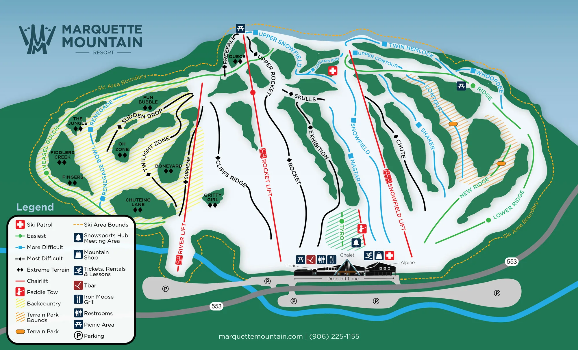
Mmr Winter Trail Map 23 24 Web

Mountain Statistics

Summit Elevation

1,275 feet

Vertical Drop

540 feet

Skiable Terrain

170 acres of slopes

330 total acres

Ski Trails

29

Glades

9

Longest Run

1.25 miles

Average Annual Snowfall

210 inches

Lifts

3 chair lifts

1 surface lift

Trail Difficulty Levels

Our trails are categorized to accommodate all skill levels.
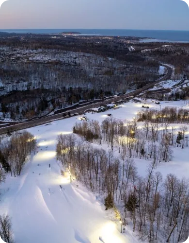
Mqt Mtn Drone Photos 14 1
Cropped Skiing

Safety and Guidelines

We prioritize your safety on the mountain. Please adhere to all posted signs and guidelines, and always ski or snowboard within your ability level. For more information, visit our Mountain Safety page.

Ready to explore our trails?